
Wellington ZIP Code Coverage
The verified municipal-situs codes are 33414 and 33449. Research did not locate a simple authoritative USPS citywide boundary table, so this Wellington ZIP code directory does not draw a precise postal line or claim a complete neighborhood inventory. Check each address. An owner's 33411 or 33470 mailing address may appear on a Wellington parcel card, but that does not place the parcel itself in either mailing ZIP.
| ZIP Code | Areas Covered | Post Office | Notes |
|---|---|---|---|
| 33414 | Core Wellington; central and western residential and equestrian areas | Wellington Post Office; verify by address with USPS | Primary Wellington label, including some addresses beyond the municipal line |
| 33449 | Southern and western Wellington-area addresses near the Lake Worth Road and US 441 corridor | Verify by address with USPS; labeling may use Wellington or Lake Worth | Crosses the practical Wellington area and municipal or unincorporated geography |
No official evidence was found for a Wellington-only PO-box ZIP or unique institutional ZIP, and no unsupported code has been added to fill that gap. The Wellington Post Office is at 12794 Forest Hill Boulevard, Suite K2, Wellington, FL 33414-9998, phone 561-753-0446. A post office's location is useful for service questions, but it still does not define the edge of 33414.
Wellington ZIP 33414 Labels
ZIP 33414 is the core postal geography for Village Hall, planned subdivisions, equestrian parcels, and addresses beyond the incorporated line. On January 6, 2010, USPS changed the preferred last line for 33414 from West Palm Beach, Florida, to Wellington, Florida. That postal history affects record searches: an older deed, news item, directory entry, or archived correspondence may use West Palm Beach for an address now written as Wellington.
This is a postal-label change, not evidence that the parcel moved or the Village annexed it on that date. Search both city labels, then compare the parcel control number and legal description. Planned subdivisions often use subdivision, lot, and block. Larger farms or equestrian tracts can use longer recorded descriptions. Those land keys are more stable than a city name on an envelope.
Wellington ZIP 33449 Edges
ZIP 33449 serves southern and western Wellington-area addresses, including parts of the Lake Worth Road and US 441 corridor. USPS labeling material can associate it with Lake Worth even when the PAPA situs municipality says WELLINGTON. That is precisely why the ZIP code directory must separate delivery geography from government jurisdiction.
A useful boundary file should preserve three screenshots or notes for a disputed address: the normalized USPS result, PAPA's Municipality field, and the GIS municipal-boundary result. If they differ, each may still be correct for its own function. USPS routes mail. The Property Appraiser identifies the assessed municipality. GIS maps the boundary layer. None should be silently substituted for another.
Verify Wellington Postal Codes
The USPS ZIP Code Lookup is the first stop for a delivery address. Enter the street address, city and state as known, review the standardized result, and record its ZIP and ZIP+4. If an old source uses West Palm Beach or Lake Worth, try that label as well without changing the street details.
| USPS input | Purpose | How to read it |
|---|---|---|
| Street address | Identify a deliverable location | Use the full number and street name |
| City and state | Guide normalization | Test an older accepted label when researching old records |
| ZIP or ZIP+4 result | Confirm postal routing | Do not treat it as the Village boundary |
The captured USPS address lookup shows the official postal verification screen used for this Wellington ZIP code directory.
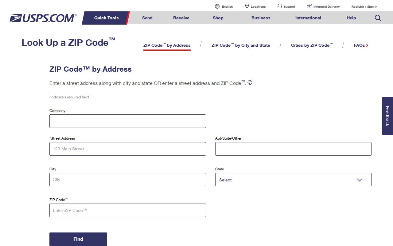
Carry the standardized street address into the parcel search rather than assuming the postal city answers jurisdiction.
Find Wellington Records by ZIP
The basic PAPA box accepts owner name, address, or parcel control number, not a citywide ZIP-only filter. ZIP values appear in situs and mailing data, while bulk Name-Address-Legal roll files can support wider analysis. The Florida Department of Revenue provides current and historical assessment-roll and GIS data channels, with historical NAL files available by county and year from 2002. Protected records must remain excluded.
- Normalize the target address in USPS and save the returned postal code.
- Search PAPA by address; read situs, municipality, owner mailing address, PCN, and legal description as separate fields.
- Use county GIS to test the mapped municipal boundary or spatial area rather than assuming a drawn ZIP line.
- For broad analysis, request an existing assessment roll or voter product with the needed geography and comply with exemptions.
- Once the search narrows to an address, continue with the Wellington streets guide.
The Palm Beach Supervisor's My Status page is for individual verification and requires first name, last name, and date of birth. It is not a ZIP browser. An existing geographic voter extract may be requested through the office, but available products, redactions, delivery, and charges must be confirmed with Elections rather than guessed.
Read Wellington Parcel Geography
PAPA distinguishes the parcel location from the owner's mailing address. Its basic search uses an autocomplete box for owner, address, or PCN. Owner names are entered last name first, and addresses begin with the street number. The selected card can show location address, municipality, PCN, subdivision, legal description, owner, mailing address, official-record book and page, sale date, values, exemptions, building facts, maps, and sales.
A 33411 or 33470 owner mailing address on that card says where correspondence goes. It does not alter the parcel's ZIP or municipality. Likewise, a homestead exemption can support a primary-residence inference but does not list every member of a household.
The captured Palm Beach Tax Collector gateway represents a separate tax and business search channel relevant after postal geography is verified.
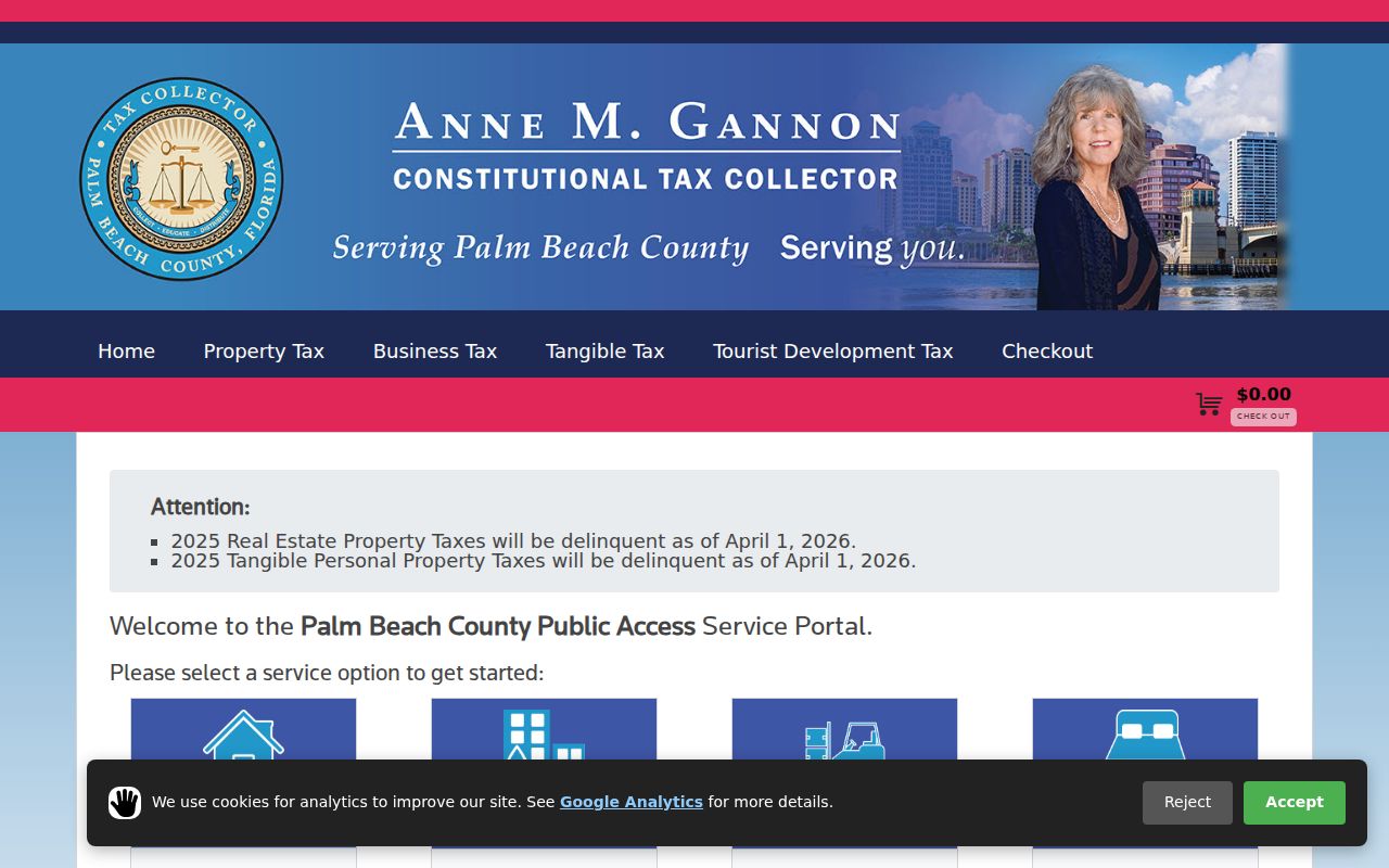
Tax status and a mailing label should be read alongside, not in place of, the authoritative parcel fields.
Wellington ZIP Roll Analysis
The Florida Department of Revenue data portal is the documented route for current and historical assessment-roll or GIS files. A delivered Palm Beach County NAL file can be filtered by ZIP after the user respects its layout, dates, and exempt records. This is a data-analysis route, not evidence that PAPA offers a simple public ZIP-only button.
The captured assessment-roll data page shows that statewide file channel.
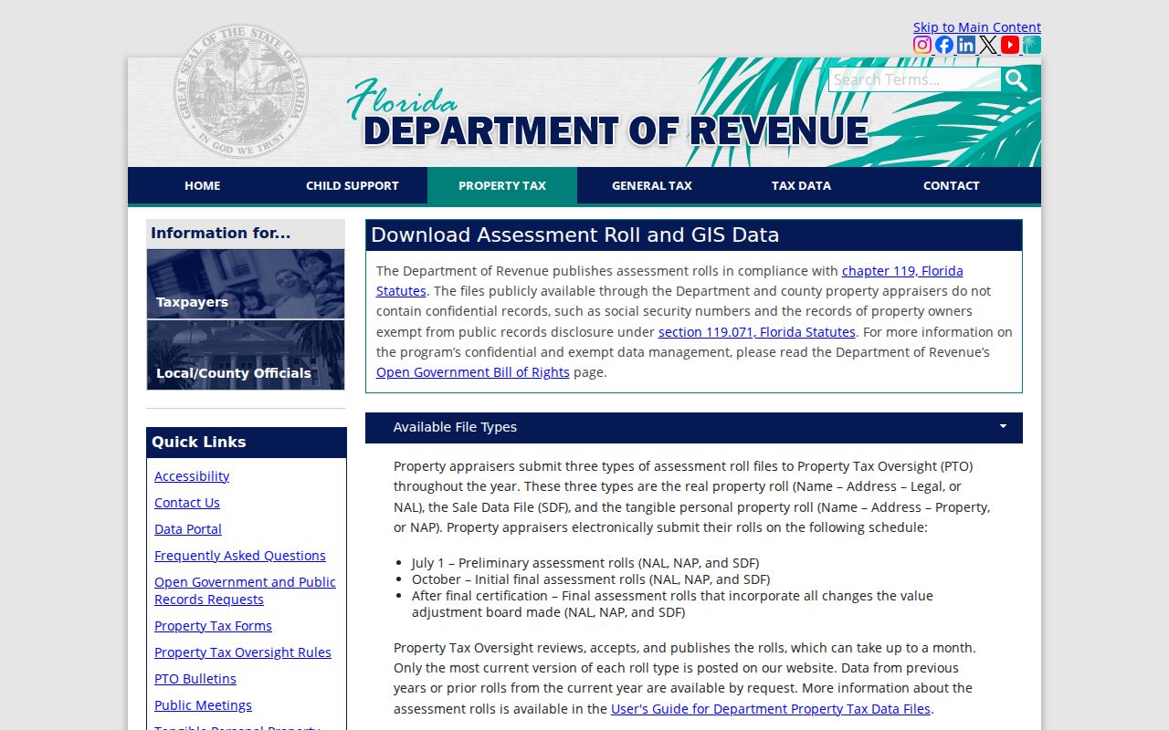
Keep the roll year with every count. Seasonal activity and owner mailing addresses can otherwise make a ZIP summary look like a count of year-round Village residents when it is not.
Wellington ZIP Directory Terms
Postal and land identifiers solve different problems. Use these terms as labels, not interchangeable synonyms.
- ZIP and ZIP+4
- A ZIP routes a broad postal area; ZIP+4 narrows delivery segments within it.
- PO-box ZIP
- A code assigned chiefly to post-office boxes. No Wellington-only one was verified in the research.
- Unique ZIP
- A code assigned to one high-volume institution. No Wellington example was verified.
- Carrier route
- A USPS delivery path within postal geography, not a municipal border.
- PCN
- Palm Beach County's grouped-digit parcel control number, a stable land key rather than a postal code.
- Situs address
- The physical parcel location, distinct from the owner's mailing address.
Wellington ZIPs and Village Limits
ZIP codes route mail; they do not define Wellington's corporate boundary, neighborhoods, school zones, voting precincts, or property jurisdiction. The physical variety here makes the mismatch easy to miss. Planned subdivision lots, gated communities, large equestrian parcels, farms, and competition grounds may all use familiar Wellington labels while their governing records key to different parcel descriptions and boundaries.
Run three checks. Use USPS for the delivery label, PAPA for the Municipality field, and Wellington or county GIS for the mapped municipal line. A Wellington ZIP code directory is a narrowing tool, not proof of Village jurisdiction or current residence.
For pre-1995 material, search Palm Beach County, subdivision name, legal description, and older accepted postal labels. Wellington was not yet incorporated, so the present city name may be absent even when the land now falls inside the Village. No official Wellington-wide street-renumbering event was found. When an old address fails, preserve the parcel number, plat, and legal description rather than inventing a renumbering explanation.
The same care applies to population and neighborhood claims. A ZIP population cannot be described as Wellington’s Village population because postal areas cross municipal lines. Seasonal equestrian activity may create business, event, and mailing contacts without proving year-round residence. Greenview Shores, Sugar Pond Manor, Palm Beach Polo, Aero Club, Olympia, VillageWalk, Wellington’s Edge, Versailles, and the equestrian areas are better checked through parcels, plats, and Village jurisdiction than through a ZIP label alone.
For bulk analysis, Florida Department of Revenue NAL assessment-roll data can be requested by Palm Beach County and year from 2002 forward. The delivered data may then be filtered by address or ZIP while respecting suppressed records. That is a data task, not a feature of PAPA’s basic search box. GIS can also select a mapped area spatially, which avoids assuming an unofficial ZIP boundary. The Supervisor of Elections may provide an existing geographic voter product through a public-record request, but My Status remains an individual verification tool.
These distinctions keep a Wellington ZIP code directory useful: first narrow the postal area, then verify the parcel municipality and the person in the record designed for that fact.